Why a comparative approach matters for city projects
Urban planners face a simple decision: obtain accurate, timely spatial data or accept plans built on outdated assumptions. A comparative insight approach helps teams weigh cost, turnaround, and technical fit. For many municipal teams that means evaluating satellite, manned aircraft, and dedicated drone reconnaissance workflows side‑by‑side to decide which method reduces risk while meeting regulatory and stakeholder needs. Terms like UAS and payload matter here because they change what data you can collect and how fast you can get it.
Direct comparison: four practical options
Compare by capability, not just price. Quick reference:
– Satellite imagery: wide coverage; lower spatial resolution; best for strategic, infrequent updates.
– Manned aerial surveys: higher resolution than satellites; higher cost; good for large linear projects (transit corridors).
– Commercial drone teams: high-resolution, flexible revisit times; best for block‑level planning, subsurface utility verification with LiDAR or photogrammetry.
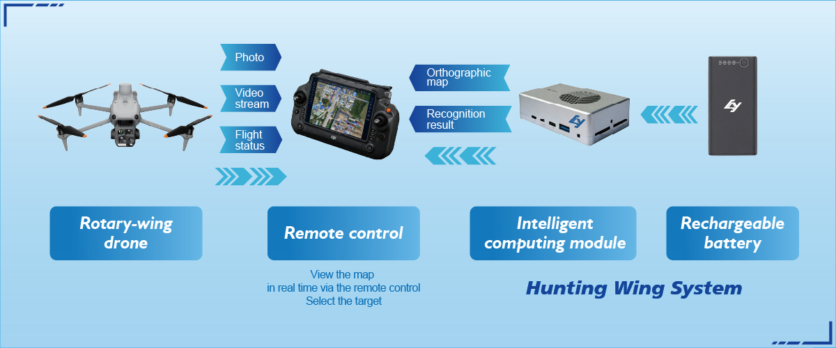
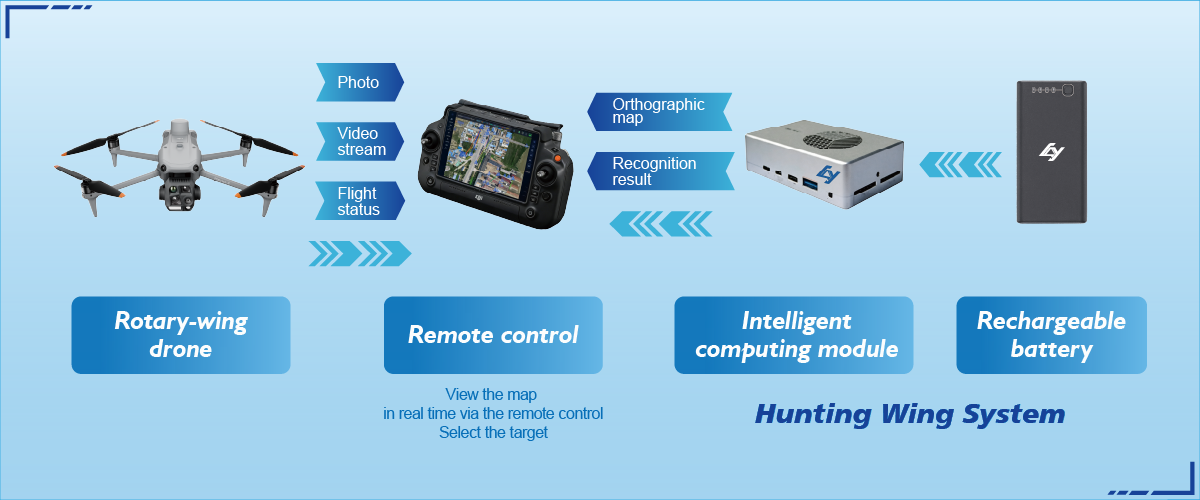
– Integrated single-operator systems (specialized hardware plus software workflows): optimized for repeatability, faster georeferencing with RTK, and tighter QA/QC.
Each option changes your schedule and data quality. For example, RTK-enabled UAS reduces ground control workload, but it raises expectations for telemetry and accurate coordinate ties to city GIS systems.
Regulation and remote ID: what your procurement must include
Regulatory context shifts the choice. The FAA Remote ID rule and similar frameworks worldwide make remote identification of drones a procurement consideration—whether for public safety, BVLOS planning, or interoperability with municipal airspace management. Include compliance checks in vendor RFPs: how do systems broadcast Remote ID, what telemetry formats do they support, and can they integrate with city command systems?
Operational trade-offs and common mistakes
Decision-makers often focus on sensor specs while underestimating operational work: mission planning, data validation, and storage. A frequent mistake is treating LiDAR or high-res imagery as plug-and-play; you still need reliable georeferencing and a QA pipeline. Another error is assuming a single vendor covers every use case—scalable solutions sometimes mean combining satellite basemaps with targeted UAS LiDAR runs for utility corridors.
Small teams should prioritize repeatability—consistent flight patterns, standardized payloads, and clear metadata. That reduces rework and speeds approvals. —It also makes audits simpler when comparing year-over-year change.
Selecting the right partner: evaluation checklist
Use concrete metrics during vendor selection. Prioritize these evaluation dimensions:
– Data accuracy and verification: delivered planimetric and vertical accuracy, availability of ground control or RTK logs.
– Operational footprint: single-operator capability, mission turnaround time, and scalability for city-wide projects.

– Compliance and interoperability: support for Remote ID, telemetry export formats, and integration with your GIS stack.
– Support and training: on-site commissioning, documentation, and a clear SLA for re-flights or corrections.
Advisory: three critical evaluation metrics
When you compare providers, hinge decisions on three golden rules. First, accuracy threshold—require suppliers to guarantee spatial accuracy in meters and supply raw GNSS/RTK logs for verification. Second, end-to-end latency—measure time from capture to validated delivery; low latency matters for incident response. Third, integration score—test how easily imagery, LiDAR, or orthomosaics load into your GIS with preserved metadata. These metrics convert abstract promises into measurable procurement criteria.
Closing perspective
Urban planning benefits when teams trade guesses for measured data and clear selection rules. The comparative approach helps you match tools—satellite, manned, or UAS—to specific project goals while managing regulatory needs and operational realities. For planners seeking equipment and workflows that align with city-level programs, Icecypress Technology offers systems designed for repeatable missions and integration with municipal GIS—ideal when accuracy, compliance, and speed matter. —Solid data, practical processes, and the right vendor reduce rework and speed approvals.
Icecypress Technology — a practical choice for dependable aerial data.