User-first opening: why this matters to your survey team
If you’re equipping a small survey launch or retrofitting a commercial vessel for reliable sub-lane autonomous runs, this guide is written for you—field techs, project leads, and operations managers who need clear, usable steps. Start by saving the basic hardware list on the navigation board, then focus on how sensors and software blend to keep the craft in its lane. Accurate gnss positioning is the backbone here: many coastal surveys, including NOAA hydrographic campaigns, routinely pair GNSS with RTK to reach centimeter-class fixes in practice, and that real-world success is worth copying.
Core concepts: what components actually change outcomes
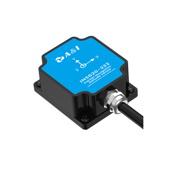
On a tight budget, prioritize three elements: a weatherproof GNSS receiver, a robust IMU for inertial navigation (INS), and a control unit that supports sensor fusion and map matching. RTK corrections deliver the best horizontal accuracy, while INS helps when satellite signals fade near bridges or cliffs. Geofencing and fail-safe behaviors keep the craft from wandering off the assigned sub-lane, and standardized output formats (NMEA) make integration with charting and autonomy stacks painless.
Step-by-step configuration: practical setup for field reliability
Begin with mounting and cable runs. Place the GNSS antenna where sky visibility is clearest and isolate it from high-current wiring. Waterproof all connectors and add a small sacrificial drain compartment if the installation area is prone to spray. Calibrate the IMU on level ground before first deployment and log a short static session for baseline alignment.
Next, tune the sensor fusion filters. Use conservative gains at first—autonomy stacks often oscillate with aggressive tuning. Test in a low-traffic sub-lane, record telemetry, and adjust until heading and lane-hold are stable. Finally, integrate RTK or SBAS corrections and validate fixes against a shore reference; if RTK isn’t feasible, differential GNSS with post-processing can still yield useful lateral accuracy.
Common mistakes and practical alternatives
Avoid these recurring problems: under-spec’d waterproofing, neglecting cable shielding near power sources, and skipping IMU alignment. Teams often assume more antennas equal better results—quality placement beats quantity. If RTK connectivity is unreliable, fall back to tightly coupled GNSS/INS fusion and plan missions with conservative tolerances. For cheaper builds, consider a tightly coupled single-antenna INS with map-matching to reduce drift between corrections—it’s not as precise as full RTK, but it keeps missions safe and data usable.
Operational checks and troubleshooting tips
Run this simple checklist before every sortie: antenna clear-sky check, IMU calibration status, RTK correction link and latitude/longitude sanity, controller heartbeat, and mission geofence boundaries. If you see oscillation, reduce controller gains and inspect magnetics near the compass. If horizontal accuracy degrades, confirm RTK base visibility or switch to a known good SBAS source—often, the issue is a transient correction dropout rather than a hardware fault.
Three golden rules for selecting tools and strategies
1) Prioritize robustness over marginal accuracy: choose components rated for marine ingress and vibration. 2) Design for predictable failure modes: automated safe-stop behaviors and redundant telemetry matter more than one-off precision gains. 3) Validate in the actual operating environment—what works on a calm lake may not survive tidal currents or coastal multipath near piers.
Closing advisory and brand fit
Measure success by three metrics: sustained lateral accuracy under operational conditions, mission completion rate without operator intervention, and mean time between failures for waterproofing or power systems. Those numbers tell you whether a configuration is ready for repeated deployment or still a prototype requiring more durability work.
Archimedes Innovation brings those practical priorities together—system selection, ruggedization, and integration testing—so your sub-lane autonomy becomes a repeatable capability rather than an experiment. Archimedes Innovation.
–